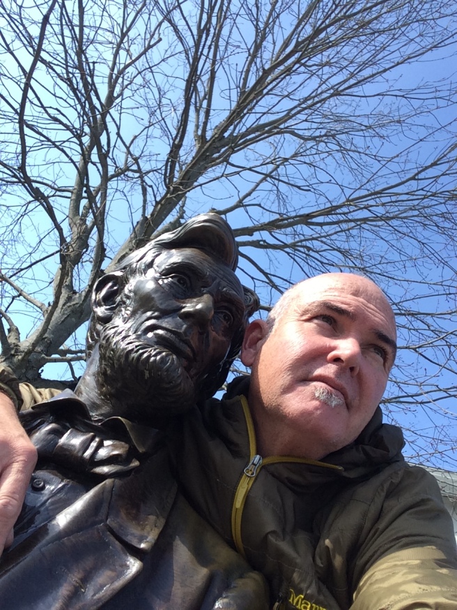
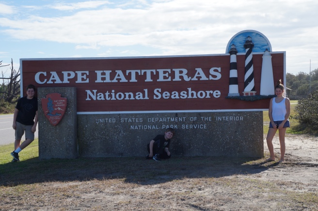
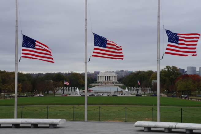
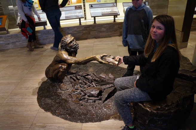
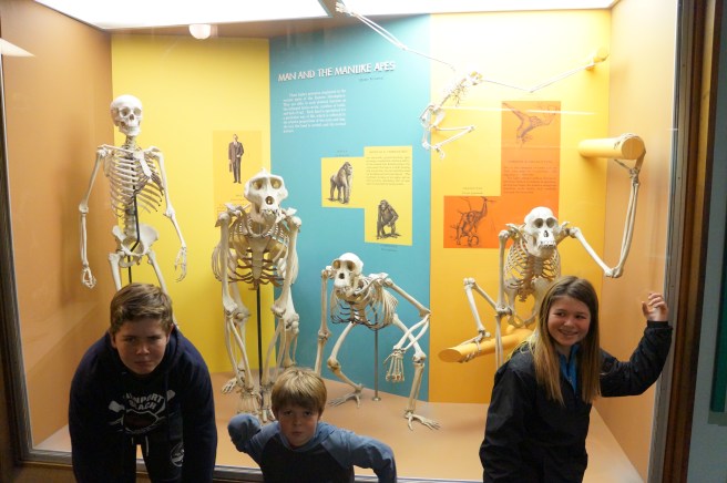
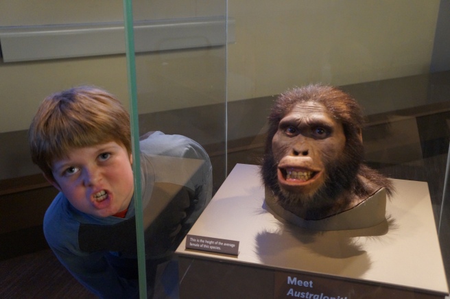
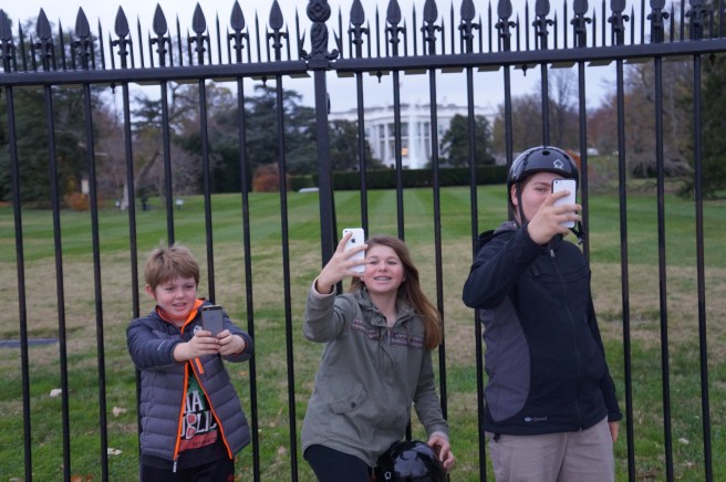
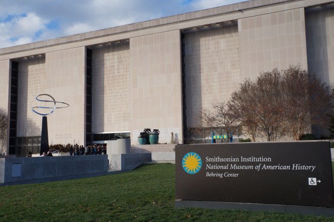
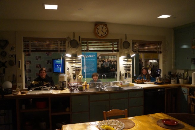
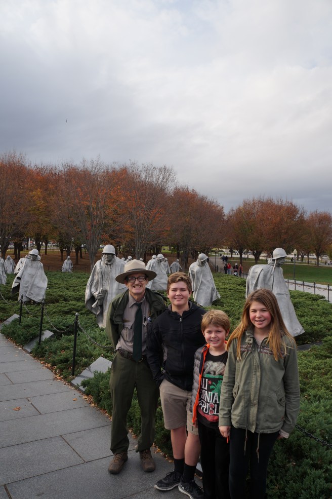
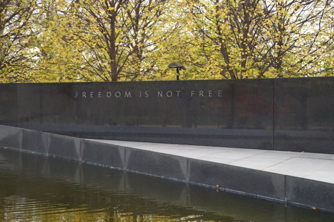
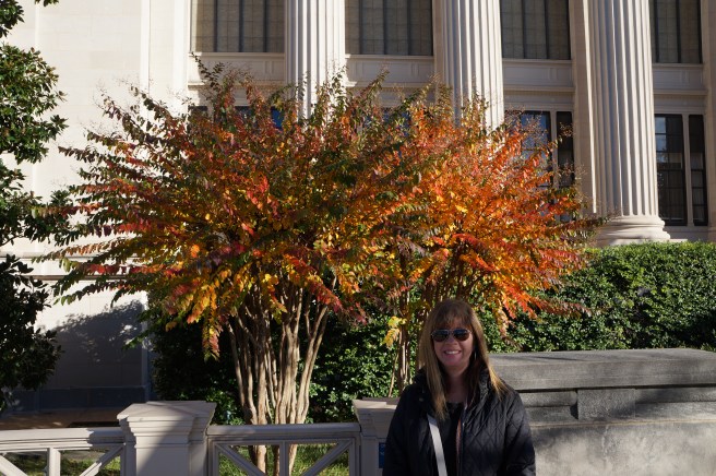
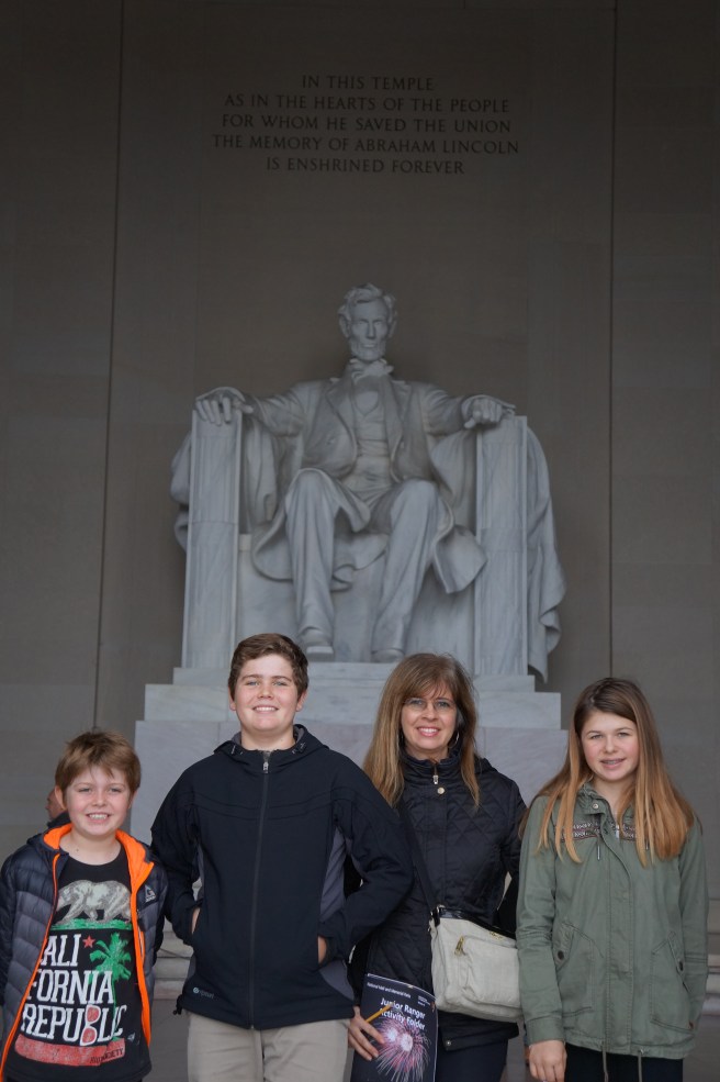
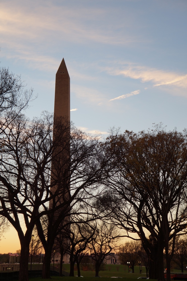
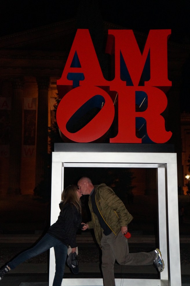
Our history lessons continued as we headed south from DC towards North Carolina’s Cape Hatteras and the Outer Banks, or OBX as it’s commonly referred.
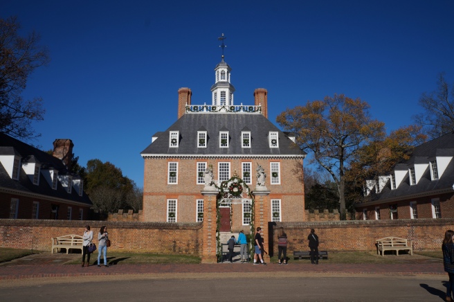
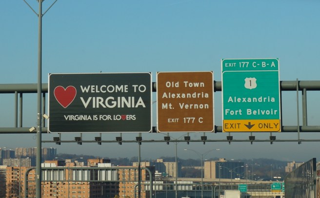
Our route took us through Virginia to Williamsburg, established in 1632 and designated as the capital of the English Colony in 1698. The town has been remarkably restored and has functioned as a historically themed tourist attraction. It was a center of political activity before and during the American Revolution (1775–1783). It is the site where George Washington, Thomas Jefferson, and Patrick Henry debated taxes, slavery, and the inalienable rights of men. It is also the site of a once very active slave trade.
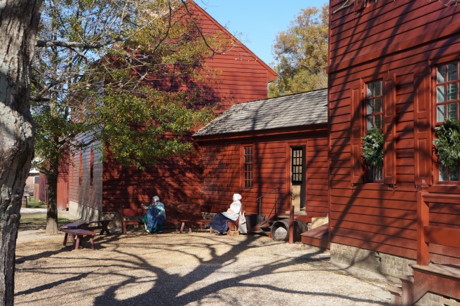
We spoke with a fellow washing down a building who is from England and living on site full time. Both he and his wife work on the property in exchange for housing. Talk about living in the past.
Click here for short read on the evolution of Colonial Williamsburg.


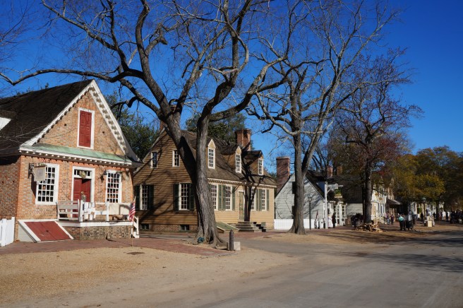
With over three hundred acres and being off season, it was never crowded despite being a perfectly beautiful day.
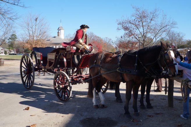
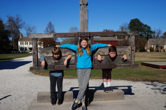


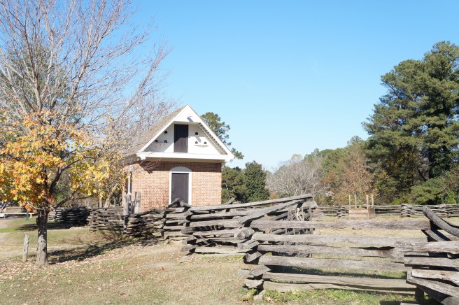
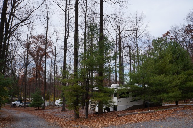
Our visit took us through a several mile walk, covering only a portion of the village. If you come here, bring your wallet. It is a theme park of sorts and while it’s free to walk the grounds and read about history, everything else requires a fee. When we arrived back at the coach we assumed we were in the best spot as there were acres of available parking but the only other RV’s in the lot parked next to us. We also realized we left our headlights on. Not a problem as we utilize the house batteries to start the engine when this happens. Only second time of the trip thankfully.
With our history lesson and Physical Education completed for the day we headed on towards the OBX. It was a Thursday and by the amount of traffic it was obvious we were heading into a holiday weekend.
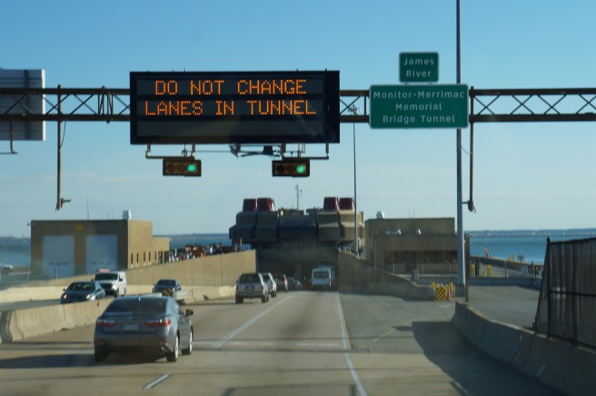
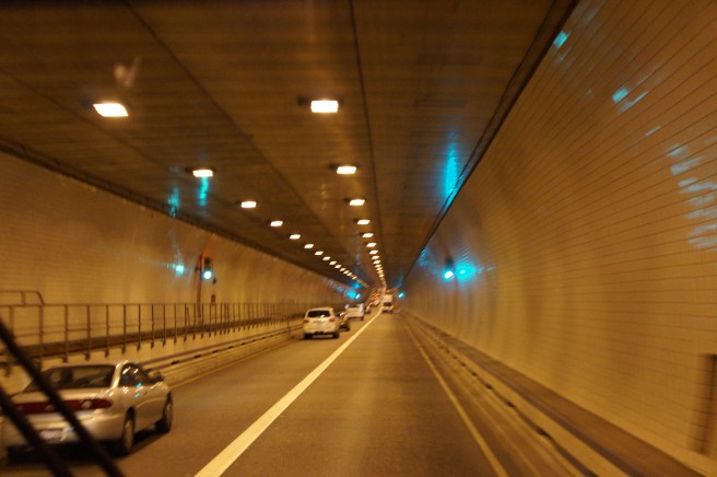
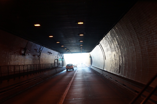
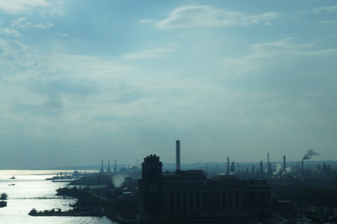
The Merrimac Tunnel takes you deep beneath the James River delivering you from Virginia to North Carolina.
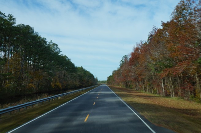
Once across it is still a trek to the Outer Banks traveling through agricultural land and small towns.


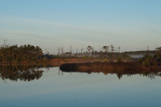
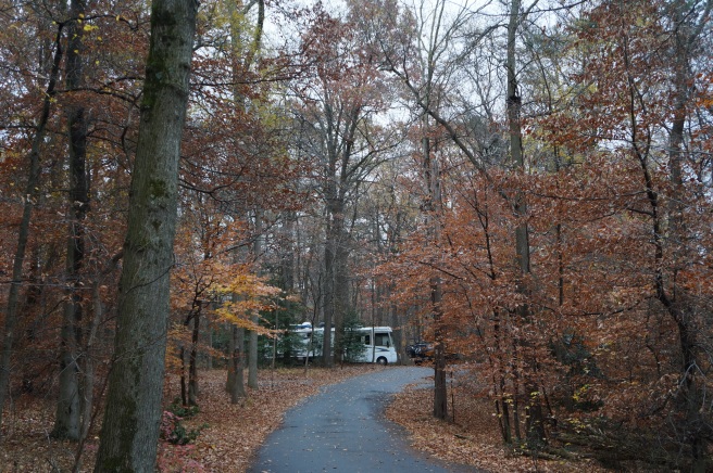
The sun was setting, and we were slated to arrive on Roanoke Island at around seven thirty. The Refuge campground was expecting us. Using our phones to navigate instead of our Garmin proved to be a bad idea. Laurel and our ten year old had googled directions on separate phones to see how long it would take to arrive. Our daughter turned off the phone with the exact address, so we were relying on the one that was pointing us in the general direction. Two lessons learned here. Phone navigation eats up your data and costs a bundle. Make sure your ten-year old’s directions are double checked before departing. While we were headed in the general direction, we ended up on a dead-end street in a residential neighborhood about an hour north of our destination. It was dark and it was obvious we were at the end of the road. I jumped out of the coach to unhook our truck so we could turn the rig around and get back on track. About this time, I was approached by a resident who asked if we needed any help. He proceeded to tell me about the history of the community and that he was living in the house his grandparents had built located just behind us. They were buried on a plot just on the other side of the street. A generous guy, he retreated to his house to make dinner and told me if I needed anything to knock on the door.
While I had been getting turned back around Laurel found another campground that was ten minutes away. Even though we were expected down the road, we decided to check it out. It was after hours and getting very dark. From the paved street we traveled a quarter mile down a dirt road past a number of single wide mobile homes to the entrance. Once inside it looked very clean and new. The girls jumped out to check out the restrooms and get some information from the office. They returned with two thumbs up on the bathrooms and showers and a map of the park. Upon inspection of the map, we realized the campsites were situated in a circle surrounding a cemetery. Many of the sites backed up to the cemetery which was a raised island in the middle of the campground. When the kids got wind of this they freaked and would have no part of camping next to a cemetery. I would use this newfound weakness against them at a later date.
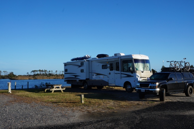
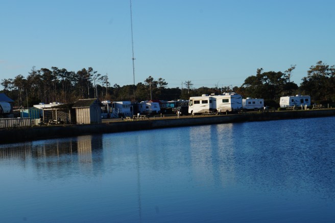
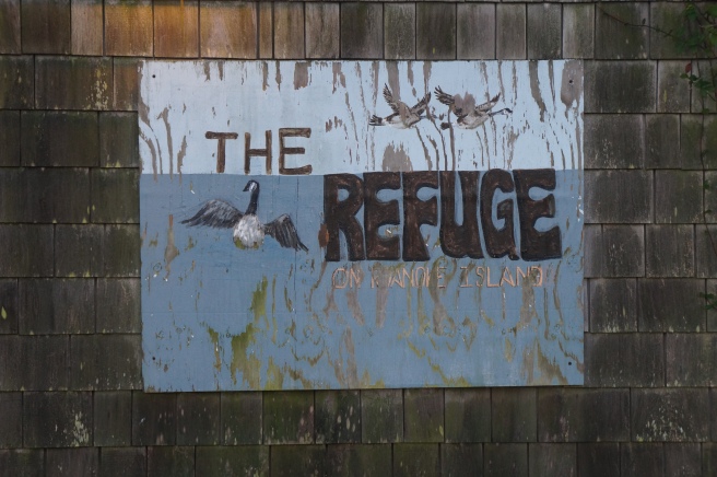
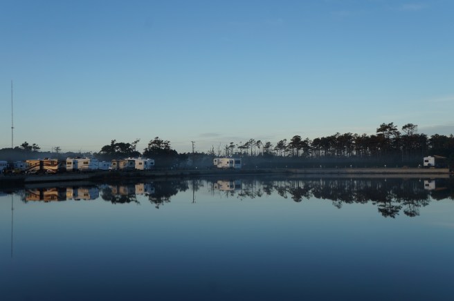
We pushed on to The Refuge where we checked into a budget friendly waterfront site.
Roanoke Island is the site of the first settlement of colonists and the location where the first child from immigrant parents was born on U.S. soil. Now it is home to fishermen and boat builders.
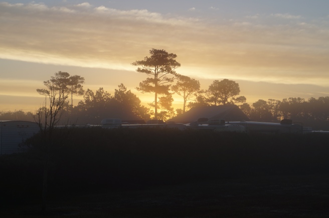
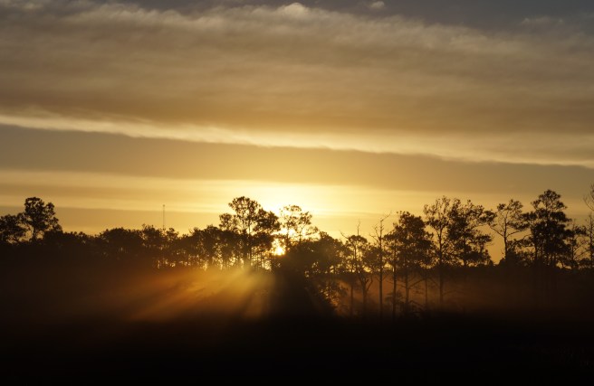
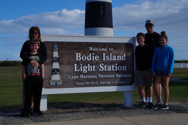
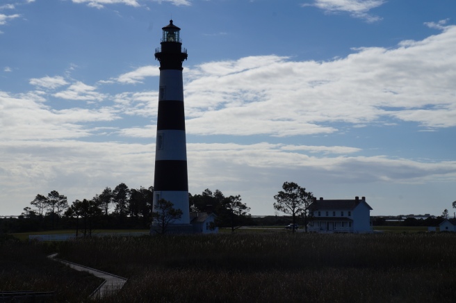
The Outer Banks are beautiful untamed land. Full of plants, animals and insects that bite back, not to mention the seasonal storms and hurricanes that bring tidal surges and flooding. It is a place that can be truly inhospitable. But it is also absolutely beautiful.


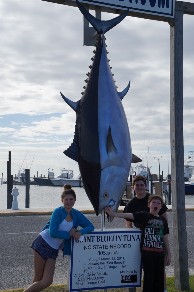
Oregon Inlet is home to a world class offshore fishing fleet where world record blue fin tuna and Atlantic blue marlin are brought back to shore.
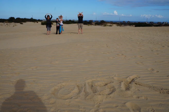
Jockey’s Ridge


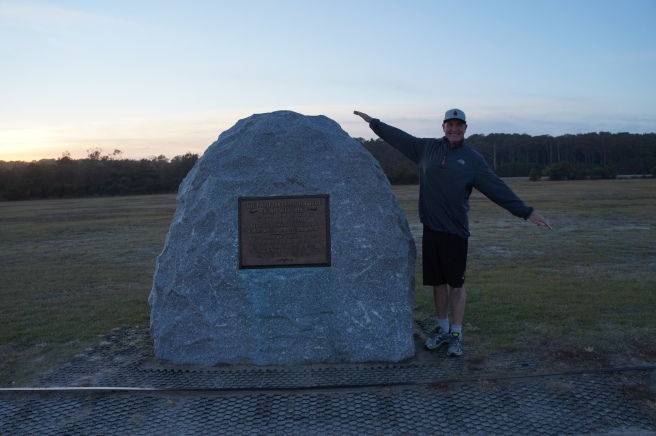
Kitty Hawk
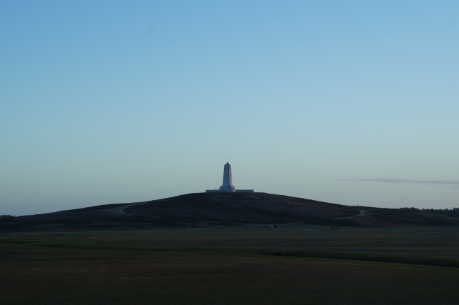
Driven by wind, the dune on which the monument was erected had moved over two hundred feet from its original location. Grass was planted to preserve the landscape. This was the first place on the outer banks grass had been planted. While it looks soft and glorious to run across with bare feet it is littered with a thorny ball, the size of a pea affectionately called sand spurs. Peppered in are mounds of fire ants making it less hospitable. We found out about the sand spurs when Kyra jumped from a rock jetty onto a blanket of grass. She screamed as though she had been bitten by a snake. It took half an hour to pull all of them out of her feet using pliers as many had lodged at the base of her toes.


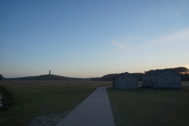
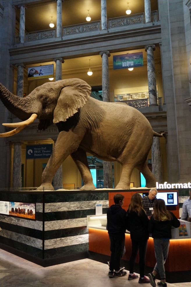
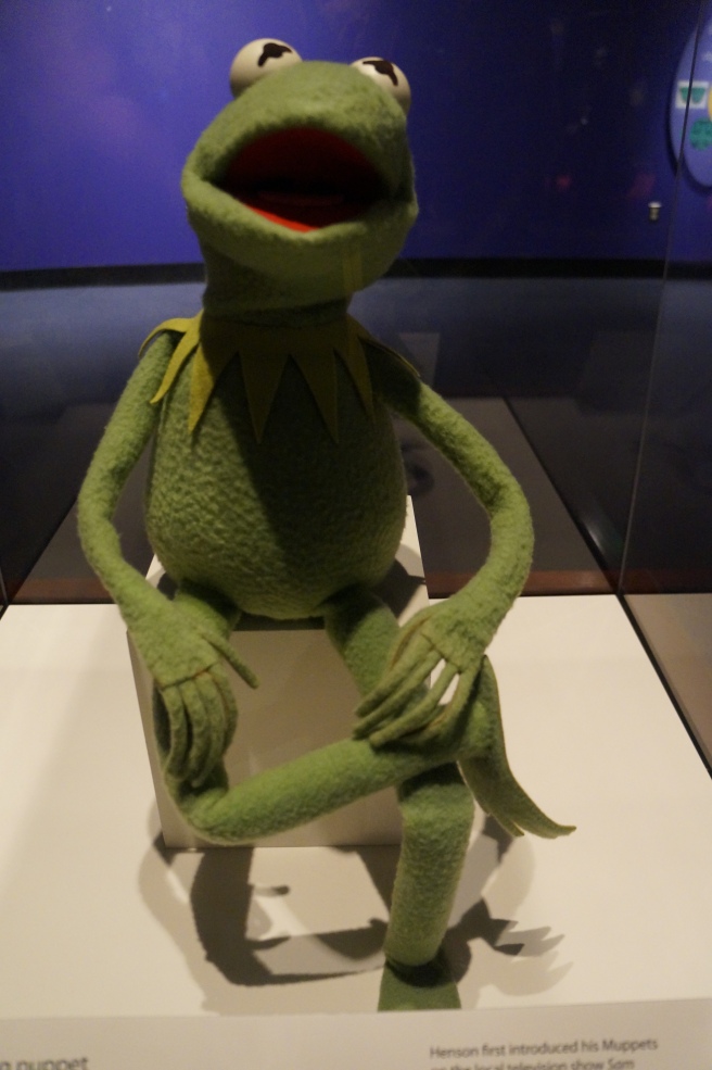
We followed the Wright Brothers story from The Henry Ford Museum in Michigan where we toured their reassembled original bike shop and childhood home in Greenfield Village. We then viewed the original Kitty Hawk plane in Washington DC at the Smithsonian Museum of Air and Space. To finally stand where the first flight took place was quite surreal.
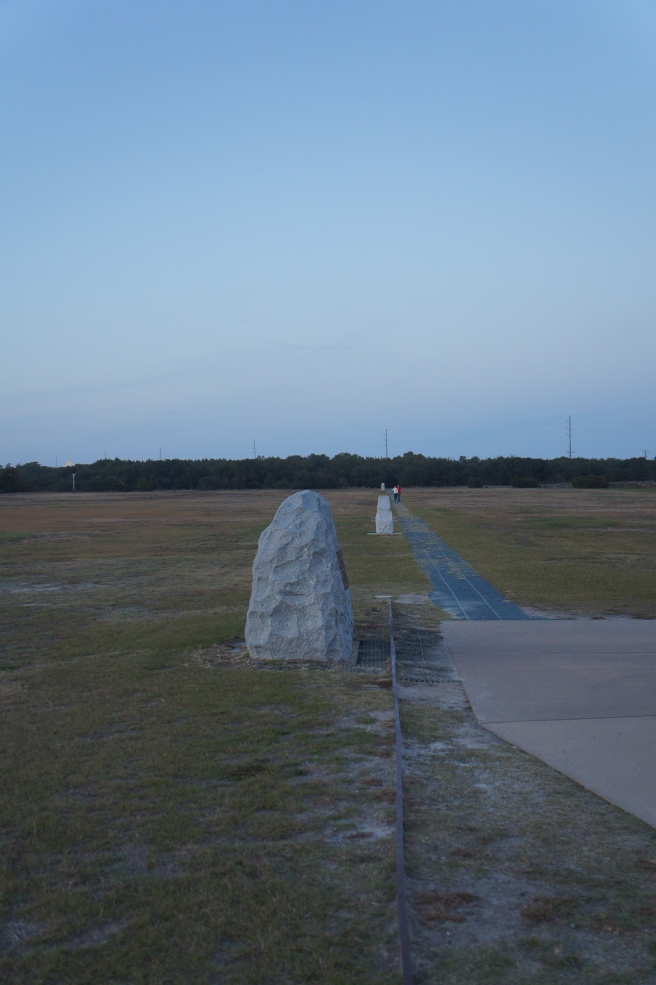
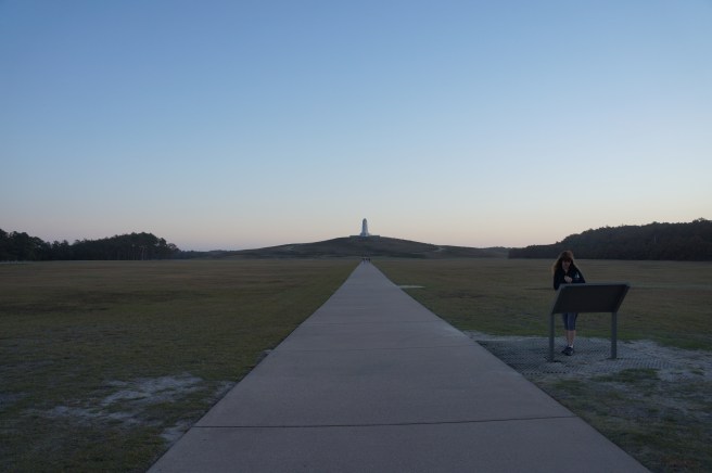
The metal track was used to get the plane off the sand for take off. The three stone markers in the distance indicate the length of their flights. The strong headwinds helped them stay aloft for twelve seconds, covering a distance of one hundred twenty feet.
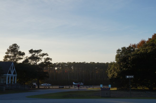
Appropriately there is a small airport adjoined to Kitty Hawk.
In the early days the steel mesh on the ground is what the Army Corps of Engineers used to construct roadway across the sand in the outer banks. When a storm would cover the road with sand they would simply lay more steel mesh down. A couple locals native to the area told us there is no telling how many layers of steel mesh are beneath the now modern road.


Water, water everywhere
Our original plans were to volunteer our time on Thanksgiving day. Many of the places we called had a full roster of help and were not in need. So we spent the day site seeing. We ended up having a fun time over a nice dinner at a great place named Kelly’s Outer banks Restaurant and Tavern. Michael Kelly and his staff have been serving the Outer Banks for thirty years.


We hung out with the owner Michael Kelly and swapped stories. Upon our departure he pointed us in the direction of a local holiday landmark to visit on our way back to the campground.
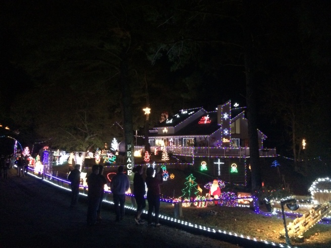
The Poulis house was featured on Good Morning America ten years ago as the best decorated house for Christmas in the country. We hung out by a fire with the patriarch of the family while he shared his story of bringing holiday cheer to the Outer Banks for thirty years. It was a perfect end to an already special evening.


We had one more day of hanging out in the OBX and it was off to Raleigh North Carolina to visit family and friends.

Not far from the inter coastal waterways heading west from Roanoke Island, the road signs read, “Bear Crossing”. We didn’t see any but we added this to our already long list of creatures that call this area home.

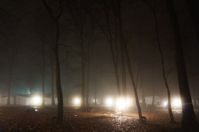
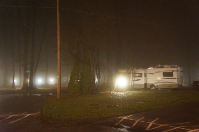
 The third week of November gave us a nearly empty campground delivering cold nights, mild days and no rain or snow in the immediate forecast.


 We got out of there quickly, parked at a nearby medical building and drove back to get the kids and have breakfast together. We were blessed beyond measure spoiled by our good friends.
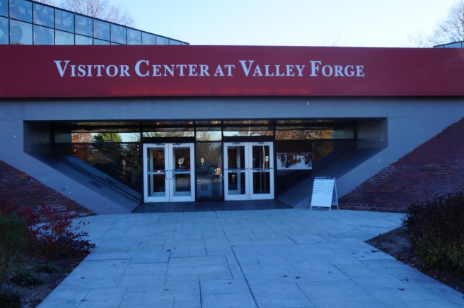
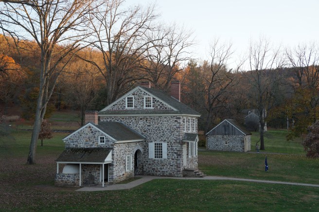
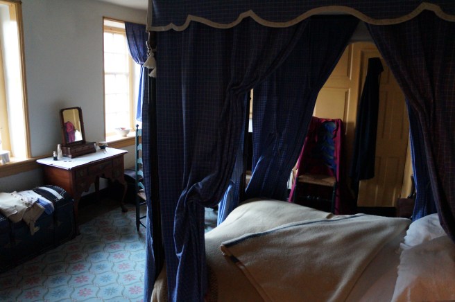
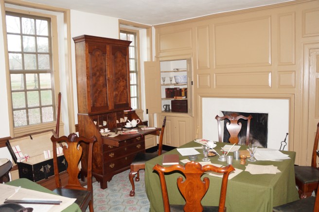
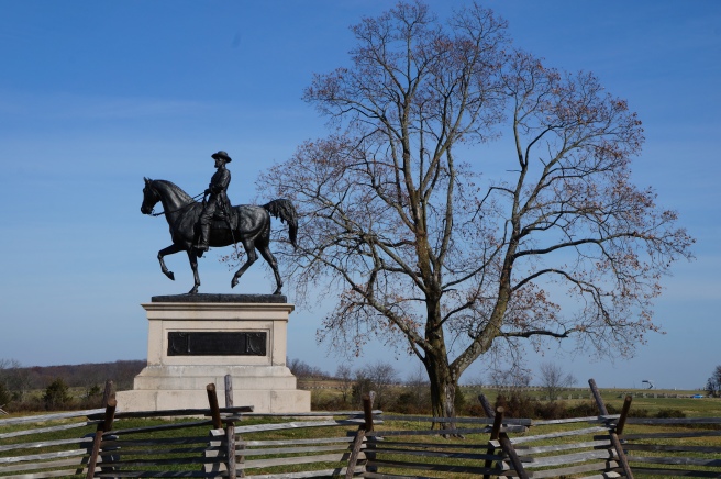
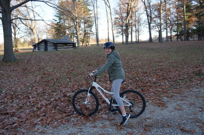 They present the opportunity to be totally immersed in your surroundings. The skies were clear and warm. We road many miles through the rolling hills discovering artifacts and learning about the harsh winter conditions endured here by General George Washington and his troops.
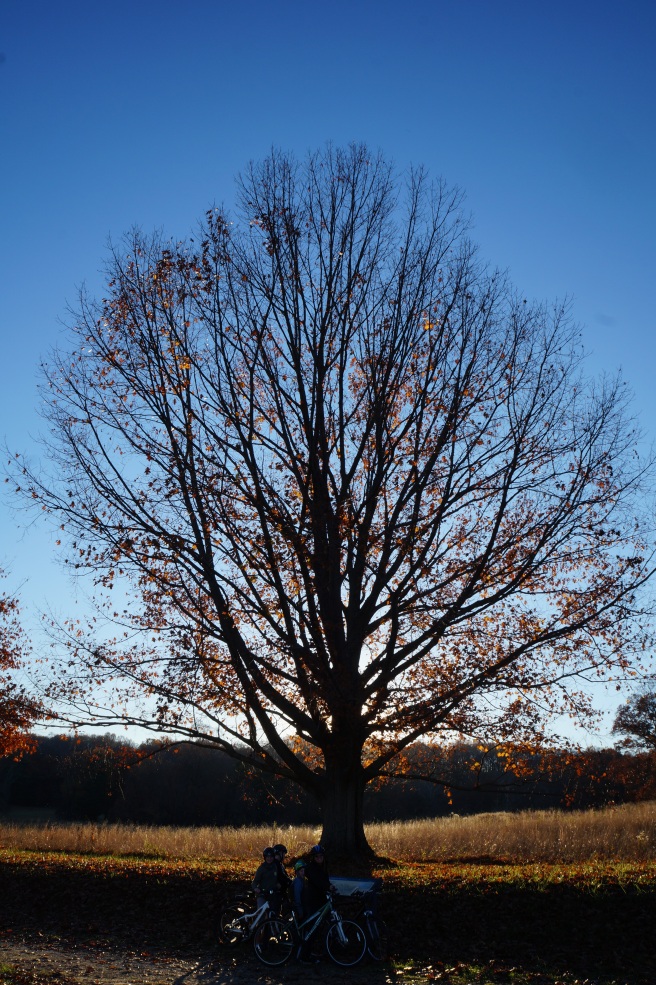 We toured George Washington’s quarters and with the help of the docents on site gained a rich understanding of life here and the events that transpired during the harsh winter of 1777.
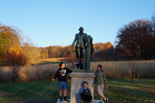


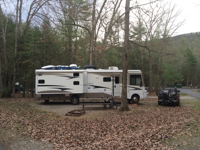 We spent four days hunkered down catching up on school work and grading papers. We broke up the days with field trips of hiking, fishing and hatchet throwing.


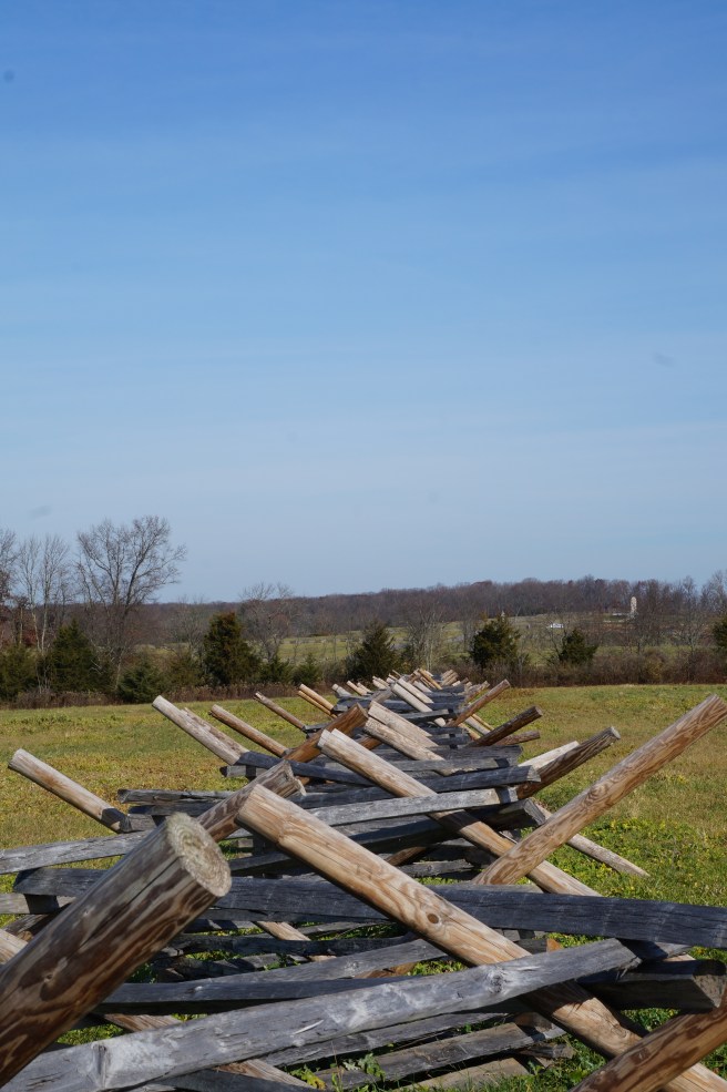
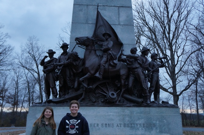
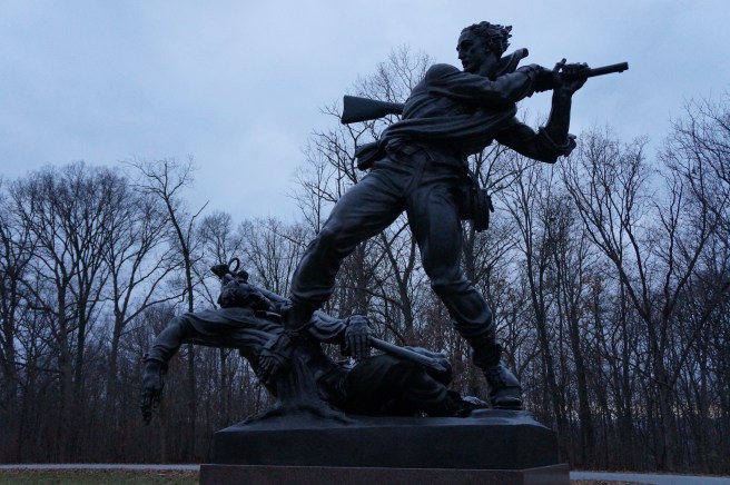
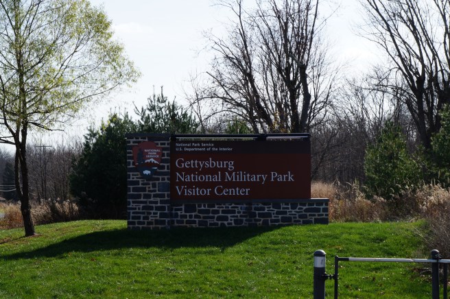
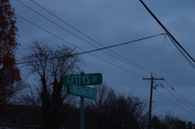
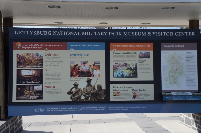 They say the countryside is still full of them but signs posted prohibit treasure hunting. Another must see at the visitors center is the Cyclorama, a three hundred sixty degree oil painting depicting the July 3rd, 1863 battle at Gettysburg painted by Paul Dominique Philippoteaux.
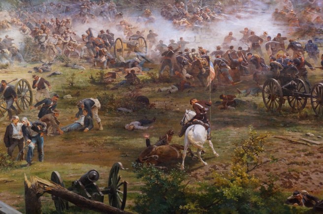
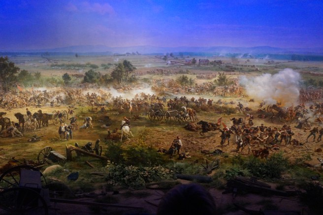 You enter the Cyclorama from an escalator that delivers you upstairs into the middle of a round room. The circular room hosts the three hundred seventy seven foot long forty-two foot tall painting. The lights dim and a narrative comes over the speaker system illuminating the points discussed on the painting. Philippoteaux executed the painting largely be himself and his level of expertise is impressive. As we were leaving we encountered a captain who told us his role in the story of the war being conceded by General Lee.